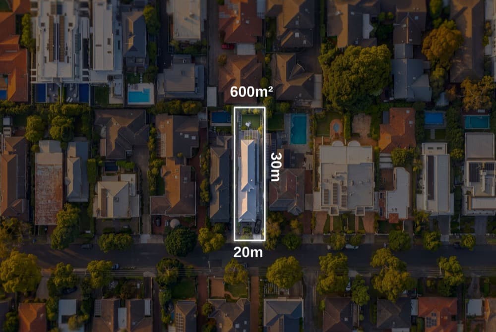
Property boundary lines drawn on real aerial photos.
The lot boundary drawn accurately over the satellite view of the property. Built from state cadastral data rather than traced by eye, and correctable by hand as often as you like.
- Boundary markup as a still image
- Unlimited hand-drawn boundary corrections
- Adjustable if a multi lot title needs merging
$149 per listing
Frequently asked questions.
State government cadastral services, covering New South Wales, Victoria, Queensland, South Australia, Western Australia, Tasmania and the ACT, with a national fallback layer.